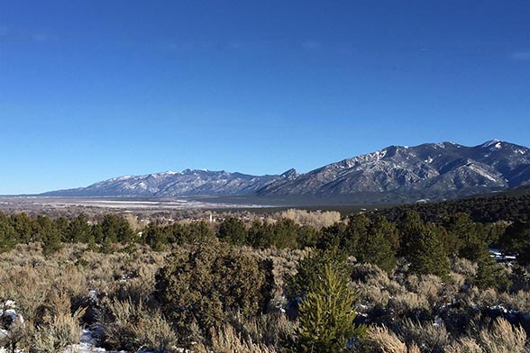
September, 2018. Taos County, a 2016 CPAW community, adopted new Land Use Regulations to help reduce wildfire risk. Many of the adopted regulations stemmed from recommendations provided by the CPAW team, and include a more clearly defined wildland-urban interface, inspection of development applications by the county’s WUI coordinator, a prohibition of residences on slopes greater than 20% in areas of highest hazard, and requiring mitigation measures in areas of highest hazard, such as sufficient water supply and roads, construction with ignition-resistant materials, and maintained defensible space. Taos County also recently developed wildfire hazard maps and updated its Community Wildfire Protection Plan.
