[et_pb_section bb_built=”1″ _builder_version=”3.0.76″][et_pb_row][et_pb_column type=”4_4″][et_pb_text _builder_version=”3.2.1″]
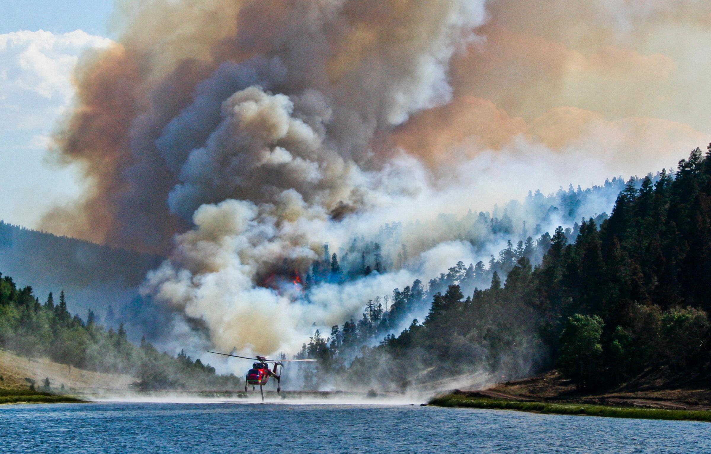
September, 2018. To better understand the impacts of wildfire to communities, watersheds, and quality of life, partners in the Valley worked with the CPAW program to develop an interactive website and map series, Living with Wildfire in the San Luis Valley. The dynamic web page includes interactive maps of wildfire risk, wildland-urban interface, housing development, and watershed importance. Read more about the project and explore the interactive maps.
[/et_pb_text][/et_pb_column][/et_pb_row][/et_pb_section]
