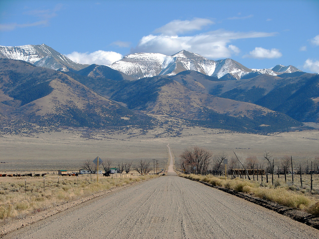
San Luis Valley, Colorado
Southern Colorado’s San Luis Valley ranges from grass and shrub ecosystems in the valley bottom to high-elevation forests in the surrounding mountains. With smaller, scattered towns and villages throughout the region, wildfires have threatened communities several times in the last two decades, destroying homes and causing evacuations.
The six-county area that comprises the San Luis Valley has a unique regional partnership with cross-county collaborations spanning elected leadership, wildfire, emergency preparedness, and land use planning. In 2018, CPAW provided a two-day training for land use planners, fire personnel, emergency managers, and elected officials around wildland-urban interface issues.
Workshop participants–including representatives from all six counties, the Colorado State Forest Service, and Colorado Division of Fire Prevention and Control—identified the need for improved mapping tools to help the counties better define their wildland-urban interface, identify areas of highest hazard to inform land use planning decisions, and communicate wildfire threats to the community.
Through a partnership with Gage Cartographics and SLV GIS, CPAW helped develop the Living with Wildfire in the San Luis Valley map series. The interactive website and maps help share information about watersheds, wildfire hazard, housing trends, and the wildland-urban interface.
Snapshot
- 2018 CPAW Community
- Population (2015): 46,815
- Growth Rate (2010-2015): 1.4%
- Fuel Type: Grass-shrub, piñon-juniper, mixed conifer
Resources
- Interactive map series: Living with Wildfire in the San Luis Valley
- Training Workbook (May 2018)