
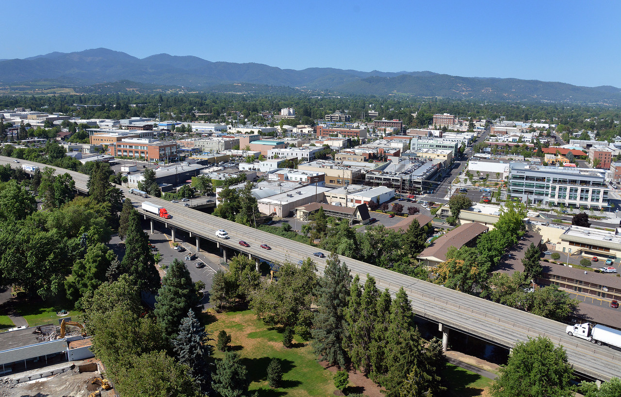
Medford, Oregon
Medford lies within the Rogue Valley which is located in southwestern Oregon. Communities within the valley are intertwined with the Rogue River-Siskiyou National Forest, forest lands managed by the Bureau of Land Management and Oregon Department of Forestry, as well as many privately owned and maintained lands.
Large wildfires are a common occurrence in southwest Oregon with the most notable being the Biscuit Fire of 2002 which burned 500,000 acres. Every year thousands of acres burn within and around the Rogue Valley. During the summer of 2009, the Deer Ridge Fire burned 633 acres within a wildland-urban interface area of Medford and adjacent to several densely populated subdivisions.
A recent study released by the U.S. Forest Service identified the 50 communities most at risk to wildfires in Oregon. Of the 50 communities assessed in the report, 23 of the communities are located in the Rogue Valley. Similarly, another study identified Medford as the third community most at risk to wildfire in Oregon.
In 2020, Medford joined the CPAW program. The city was provided with recommendations to improve and strengthen the subdivision regulations and land development code to reduce wildfire risk, especially regarding vegetation management around homes and properties. Work in Medford builds off previous efforts and relationships established in 2017, when the neighboring community of Ashland was selected into the CPAW program.
Snapshot
- 2020 CPAW Community
- Population: 81,780
- Growth Rate (2000-2017): 7.3%
- Fuel Type: oak/pine savannah, grasslands, chaparral shrubs, madrone, and Douglas-fir