
Ashland, Oregon
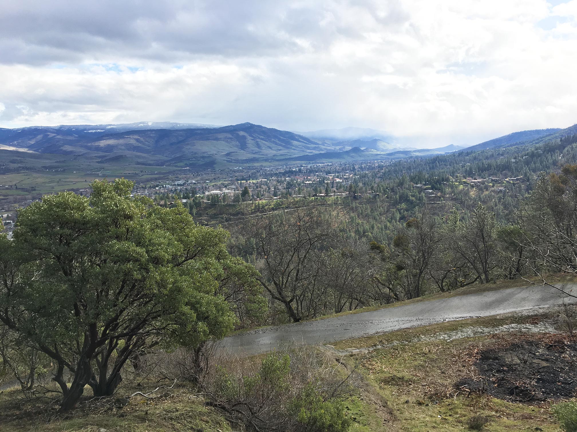
Located in southwest Oregon just ten miles north of the California border, Ashland sits at the base of the Siskiyou mountain range. While the forested setting provides a beautiful place for residents and visitors, it also presents a wildfire risk. Ashland’s recent wildfire history includes the Siskiyou Fire (2009), and the Oak Knoll Fire (2010), which destroyed 11 homes.
In 2017, CPAW provided focused planning assistance to the City of Ashland in order to help them assess potential planning and regulatory options to address wildfire. CPAW provided a report summarizing best practices from across the west. It highlights successful mitigation programs, landscaping codes, and language about professional qualifications, which may assist in the City’s implementation of future regulations and related activities.
Watch a TedX talk in the video below featuring Ashland Wildfire Division Chief, Chris Chambers and Rogue River Siskiyou National Forest Supervisor, Merv George about their efforts to help make Ashland better fire-adapted.
Snapshot
- 2017 CPAW Community
- Population (2014): 20,556
- Growth Rate (2000-2015): 5.3%
- Fuel Type: Oregon white oak, Douglas-fir, white fir, ponderosa pine, mountain hemlock, manzanita