Category: News
-
Oregon Adopts Building Code Options for Wildfire Hazard Mitigation
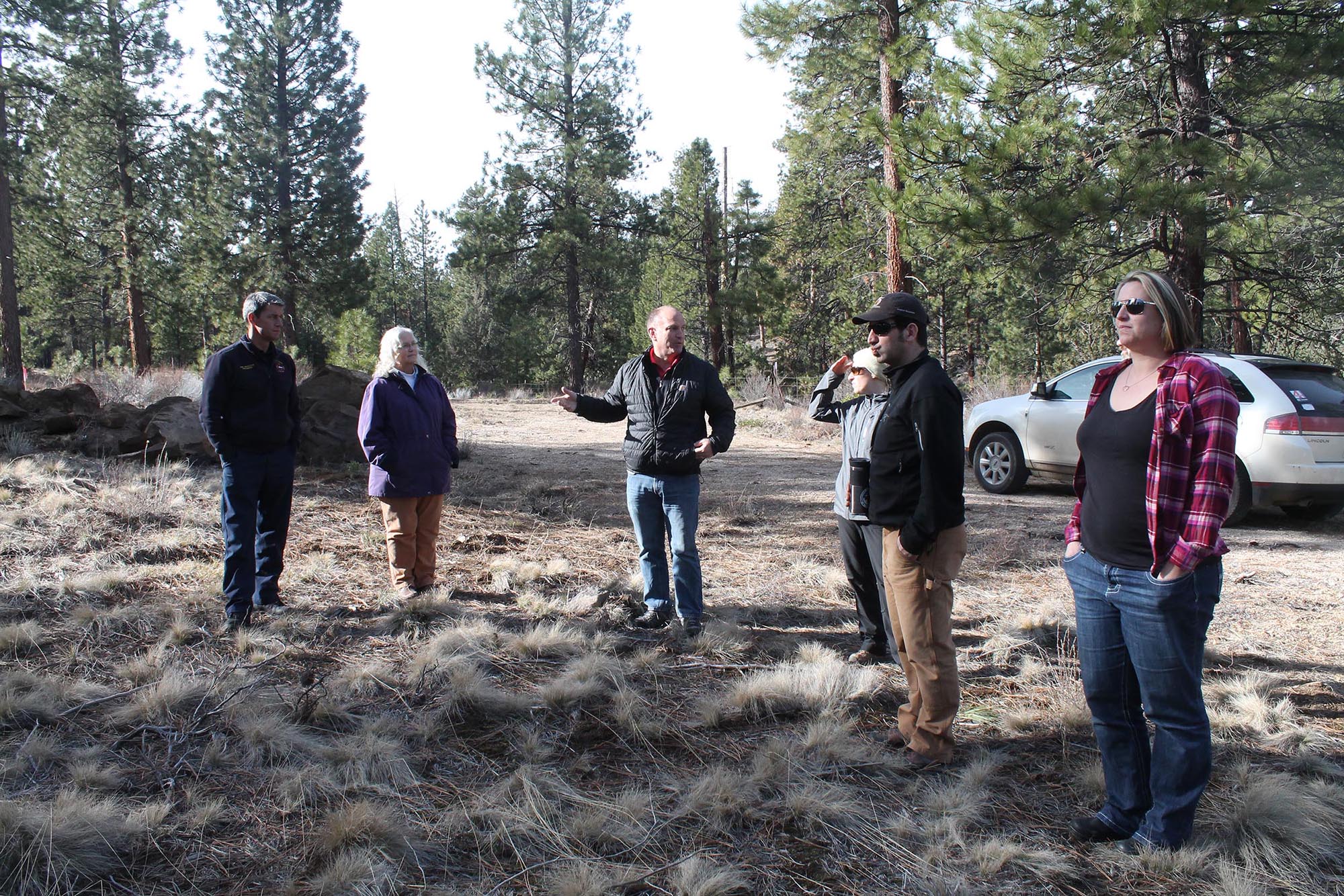
[et_pb_section bb_built=”1″ _builder_version=”3.0.76″][et_pb_row][et_pb_column type=”4_4″][et_pb_text _builder_version=”3.19.5″] January 2019. Oregon Building Codes Division has adopted an amendment to the Oregon Residential Specialty Code that allows local jurisdictions to adopt wildfire hazard mitigation provisions for residential structures. The provisions are based on the International Code Council’s Wildland-Urban Interface (WUI) Code. The amendment gives cities and counties a new, effective tool for…
-
CPAW Announces Communities for 2019
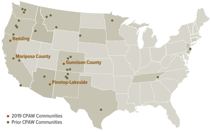
[et_pb_section bb_built=”1″ _builder_version=”3.0.76″][et_pb_row][et_pb_column type=”4_4″][et_pb_text _builder_version=”3.2.1″] November 2018. The Community Planning Assistance for Wildfire program announced that four new communities will join 26 others in the CPAW program in 2019. The communities are Gunnison County, Colorado; Mariposa County, California; Pinetop-Lakeside, Arizona; and Redding, California. Over the course of one year, the CPAW program will provide customized assistance…
-
Study Finds Wildfire-Resistant Home Costs the Same as Typical Home
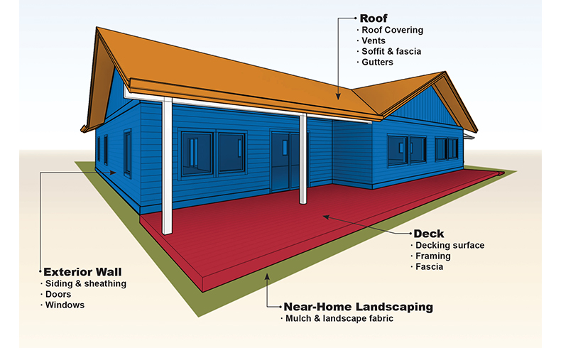
[et_pb_section bb_built=”1″ _builder_version=”3.0.76″][et_pb_row][et_pb_column type=”4_4″][et_pb_text _builder_version=”3.2.1″] November 2018. As part of the CPAW program, Headwaters Economics and the Insurance Institute for Business and Home Safety released a new report that documents negligible cost differences between building a typical home and a home constructed using wildfire-resistant materials and design features. The study examines the cost of new construction…
-
Taos County Adopts New Wildfire Regulations
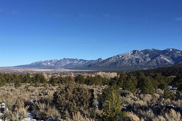
September, 2018. Taos County, a 2016 CPAW community, adopted new Land Use Regulations to help reduce wildfire risk. Many of the adopted regulations stemmed from recommendations provided by the CPAW team, and include a more clearly defined wildland-urban interface, inspection of development applications by the county’s WUI coordinator, a prohibition of residences on slopes greater…
-
New Interactive Maps of Wildfire, Watersheds, and WUI in the San Luis Valley
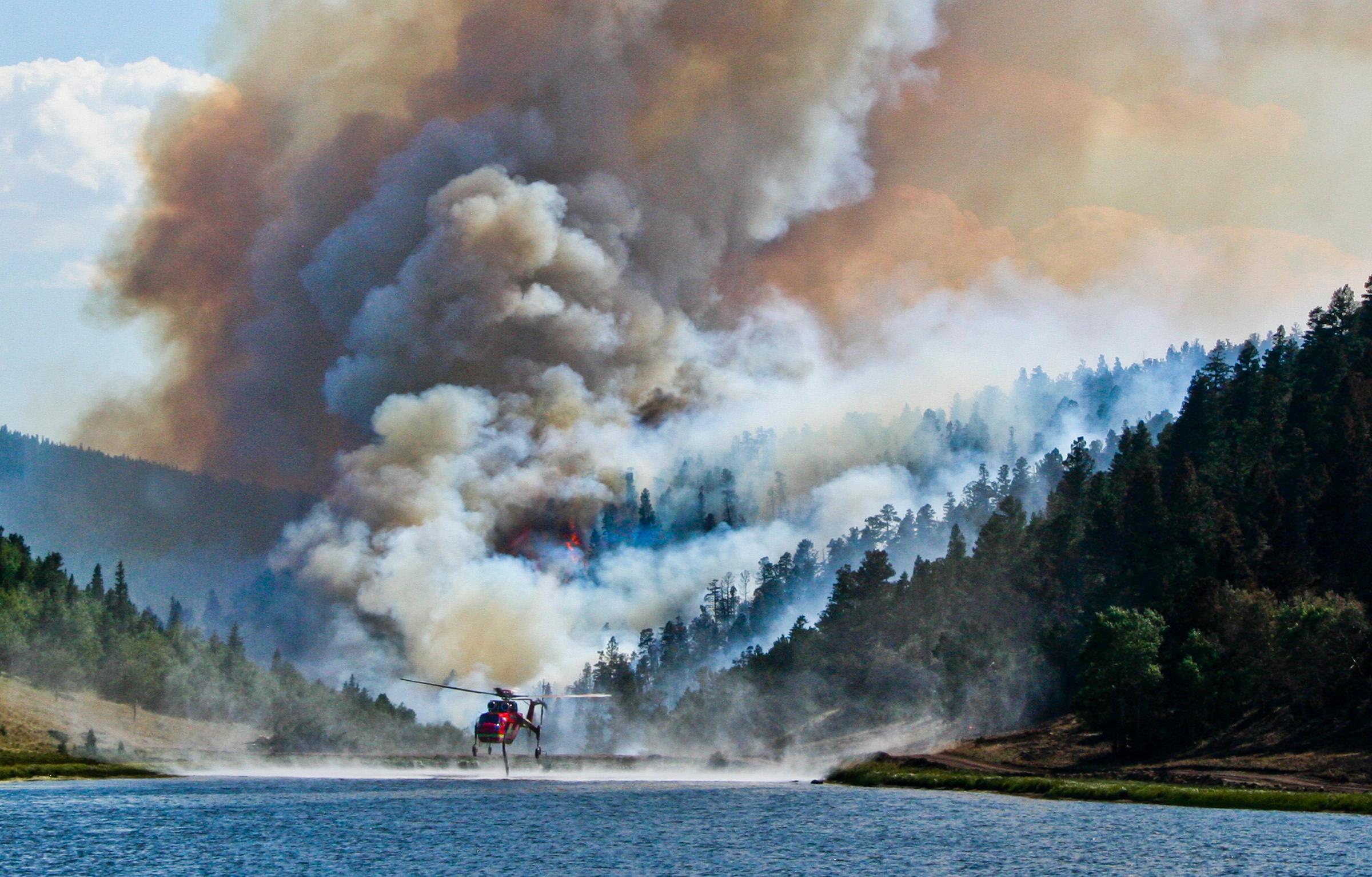
[et_pb_section bb_built=”1″ _builder_version=”3.0.76″][et_pb_row][et_pb_column type=”4_4″][et_pb_text _builder_version=”3.2.1″] September, 2018. To better understand the impacts of wildfire to communities, watersheds, and quality of life, partners in the Valley worked with the CPAW program to develop an interactive website and map series, Living with Wildfire in the San Luis Valley. The dynamic web page includes interactive maps of wildfire risk, wildland-urban…
-
Austin Wildfire and Vulnerable Populations Tool
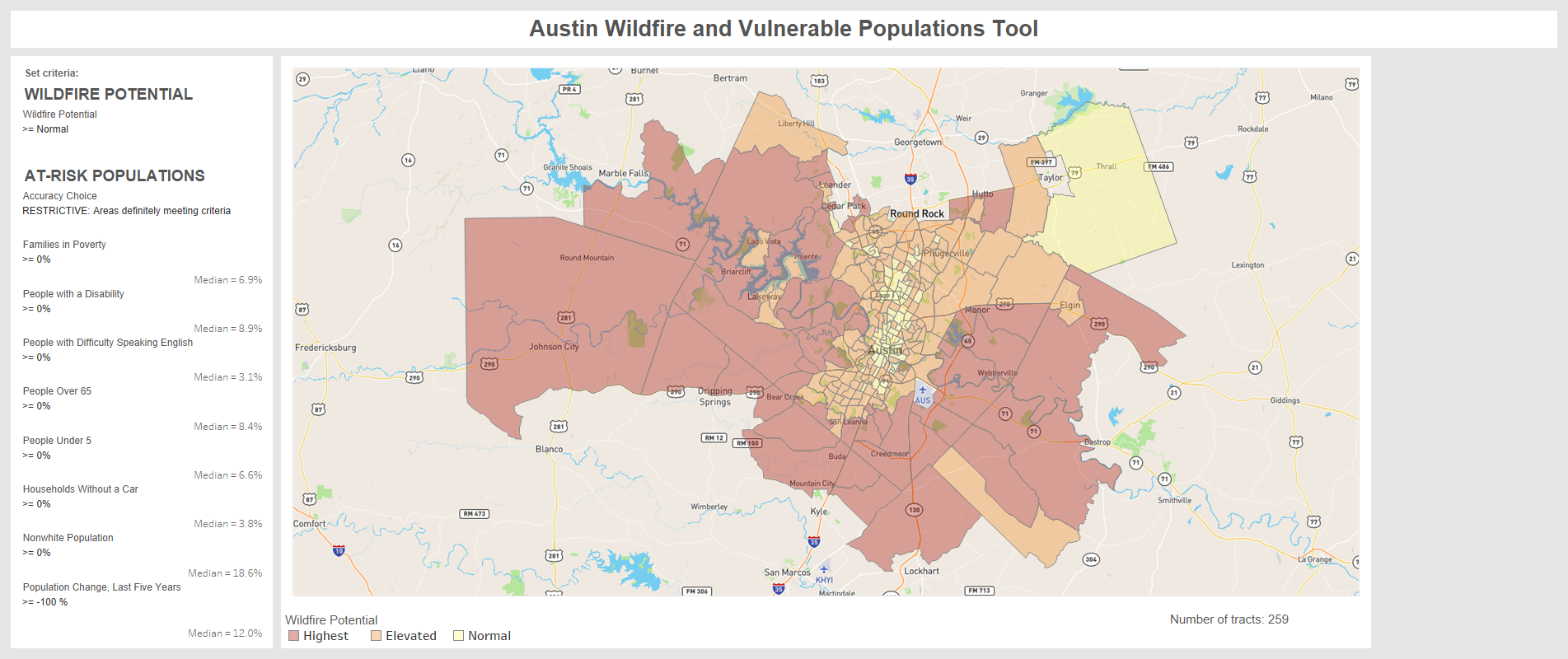
[et_pb_section bb_built=”1″ _builder_version=”3.0.76″][et_pb_row][et_pb_column type=”4_4″][et_pb_text _builder_version=”3.2.1″] September, 2018. CPAW researchers with Headwaters Economics have release a new, interactive Austin Wildfire and Vulnerable Populations Tool. The map and underlying data help land use planners, fire personnel, elected officials, and others identify neighborhoods in Austin, TX where overlapping wildfire threats and socioeconomic vulnerabilities may make people disproportionately susceptible to wildfire.…
-
Planning for Wildfire Podcast

[et_pb_section bb_built=”1″ _builder_version=”3.0.76″][et_pb_row][et_pb_column type=”4_4″][et_pb_text _builder_version=”3.2.1″] July, 2018. The CPAW program was featured on Pints with Planners, a podcast produced by the Oregon Chapter of the American Planning Association. Host Ryan Krueger, Senior Planner at City of Troutdale, Oregon, interviews CPAW team member Molly Mowery and Wasco County, Oregon Senior Planner Will Smith. Listen to the episode here and follow…
-
APA Releases New Guide for Multihazard Planning in the WUI
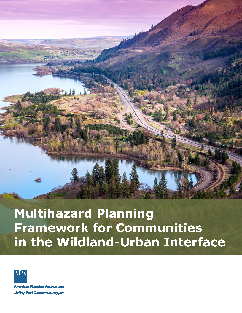
[et_pb_section bb_built=”1″ _builder_version=”3.0.76″][et_pb_row][et_pb_column type=”4_4″][et_pb_text _builder_version=”3.2.1″] July, 2018. The American Planning Association has released a new guide, the Multihazard Planning Framework for Communities in the Wildland-Urban Interface. The document lays out a framework for using planning interventions to address wildfire and other hazards at various scales. It includes a planning systems audit tool to identify strengths, gaps, and…
-
New Study: Number of Western Montana Homes In High Wildfire Hazard Areas Double
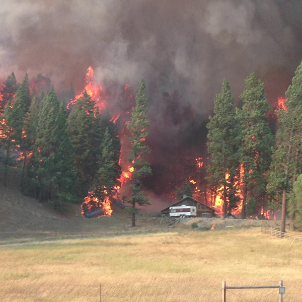
[et_pb_section bb_built=”1″ _builder_version=”3.0.76″][et_pb_row][et_pb_column type=”4_4″][et_pb_text _builder_version=”3.2.1″] June, 2018. A new study by Headwaters Economics, co-founder of the CPAW program, examined the number of western Montana homes built in areas of high wildfire hazard. The study found that one in eight new homes has been built in areas of high wildfire hazard since 1990 and that housing growth…
-
New Report: The Full Community Costs of Wildfire
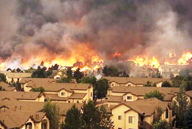
[et_pb_section bb_built=”1″ _builder_version=”3.0.76″][et_pb_row][et_pb_column type=”4_4″][et_pb_text _builder_version=”3.2.1″] May, 2018. A new report finds that almost half of the full community costs of wildfire are paid for at the local level, including by homeowners, businesses, and government agencies. The report was released by Headwaters Economics, co-founder of the CPAW program and finds that wildfire suppression costs comprise around nine…
-
Missoula County Adopts New Community Wildfire Protection Plan
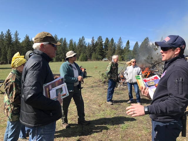
[et_pb_section bb_built=”1″ _builder_version=”3.0.76″][et_pb_row][et_pb_column type=”4_4″][et_pb_text _builder_version=”3.2.1″] May, 2018. Following a year-long process of stakeholder engagement and public outreach, Missoula County, Montana adopted a new Community Wildfire Protection Plan (CWPP), including a comprehensive risk assessment, developed in partnership with the CPAW program. The CWPP outlines goals and steps the county and partners can take to become better fire-adapted,…
-
New Report: Communities Threatened By Wildfire, 2000-2017
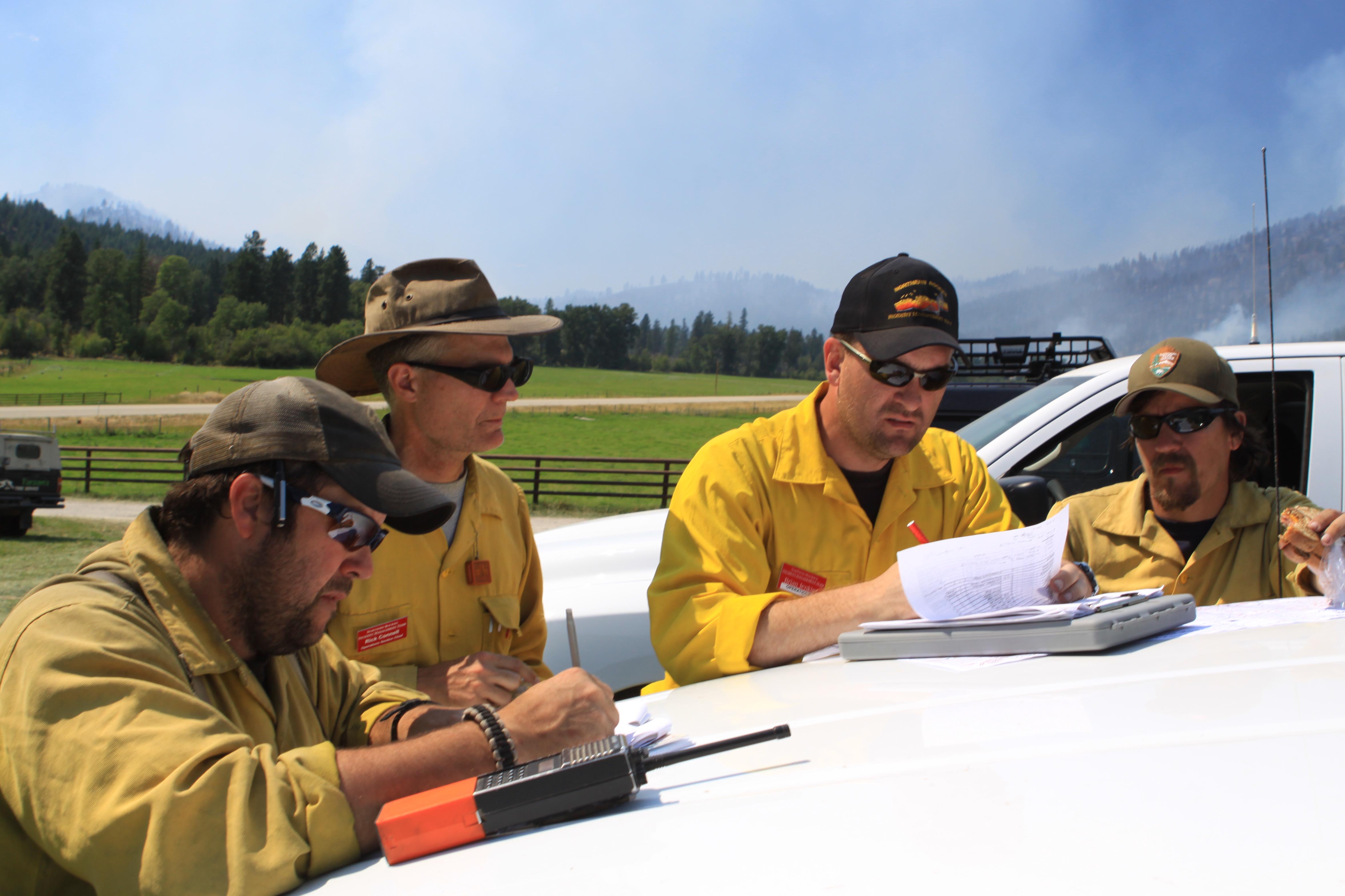
[et_pb_section bb_built=”1″ _builder_version=”3.0.76″][et_pb_row][et_pb_column type=”4_4″][et_pb_text _builder_version=”3.0.76″ background_layout=”light” border_style=”solid”] April, 2018. A new report measuring communities threatened by wildfire from 2000-2017 was released by Headwaters Economics, co-founder of the CPAW program. The report finds that more than 3,000 communities had a wildfire of 100+ acres burn within ten miles of town. At least 1,100 communities experienced a major…
-
American Planning Association: Living on the Edge- Get to Know Your WUI

[et_pb_section bb_built=”1″ _builder_version=”3.0.76″][et_pb_row][et_pb_column type=”4_4″][et_pb_text _builder_version=”3.2.1″] January, 2018. CPAW team member, Molly Mowery, published an article with the American Planning Association about CPAW and resources for planners to better understand their wildland-urban interface (WUI). The article highlights the importance of spatially defining the WUI, incorporating wildfire into comprehensive plans, adopting WUI regulations, and linking specialized hazard plans to future…
-
Summit County Adopts New WUI Regulations
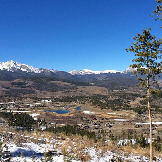
[et_pb_section bb_built=”1″ _builder_version=”3.0.76″][et_pb_row][et_pb_column type=”4_4″][et_pb_text _builder_version=”3.2.1″] January, 2018. The pilot community for the CPAW program, Summit County, Colorado, has passed new land use regulations to reduce wildfire hazard based on CPAW’s recommendations. After extensive stakeholder outreach and collaborative efforts, the new and updated regulations include measures to assess wildfire hazards as a part of any rezoning request,…