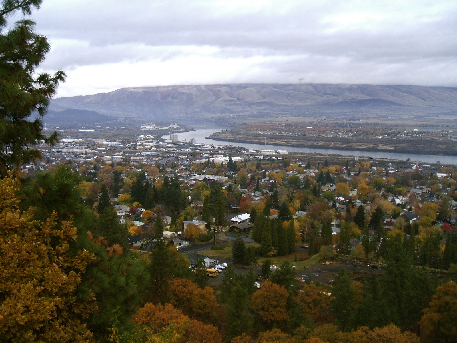
Wasco County, Oregon
Bordered by the Columbia River Gorge to the north, Mount Hood National Forest to the west, and open rangeland to the east, Wasco County encompasses a diverse Oregon landscape and experiences a variety of wildfire types. Most residential growth is centered around The Dalles and the Columbia River Gorge where large fires are common. Local influences of topography, fuels, and wind often create extreme fire behavior that outpaces local resources. In 2018, six fires burned nearly a quarter of a million acres and destroyed 67 structures.
CPAW collaborated with Wasco County in 2018 to develop a new county-wide hazard assessment and detailed recommendations for reducing risk in the wildland-urban interface. CPAW’s recommendations for Wasco County include:
- Updating the wildland-urban interface and risk assessment maps using new data produced by the Rocky Mountain Research Station for Wasco County through CPAW.
- Including general wildfire goals into its comprehensive plan, which is currently being updated.
- Updating the county Community Wildfire Protection Plan (CWPP) with current best practices and detailed action tables using a single staff coordinator to facilitate a collaborative, stakeholder-oriented process.
- Update the Wasco County Fire Safety Standards to reflect current best practices and guide mitigation requirements.
In addition, Wasco County hosted a CPAW-led training for land use planners in the region. The full-day event focused on the basics of wildland fire behavior and opportunities to link wildfire and land use planning tools.
Read the final CPAW report and recommendations for Wasco County here.
Snapshot
- 2018 CPAW Community
- Population (2015): 25,492
- Growth Rate (2010-2015): 3.2%
- Fuel Type: Shrub steppe, western juniper, ponderosa pine, mixed conifer
Resources
- 2018 CPAW Recommendations for Wasco County
- Training materials: Wildland Fire Behavior Basics and Planning Tools for Wildfire
- Wasco County 2040 – Comprehensive Plan Update