Santa Fe, New Mexico
City planners in Santa Fe, New Mexico are balancing competing priorities – protecting community aesthetic values, managing long-term growth, improving economic development, and preserving the natural landscape – all while reducing the threat of wildfire.
An arid climate coupled with climate change projections of more frequent and intense wildfires has led city planners to integrate wildfire mitigation into citywide strategic plans and regulations. CPAW profiled Santa Fe’s innovative approaches in this 2016 report.
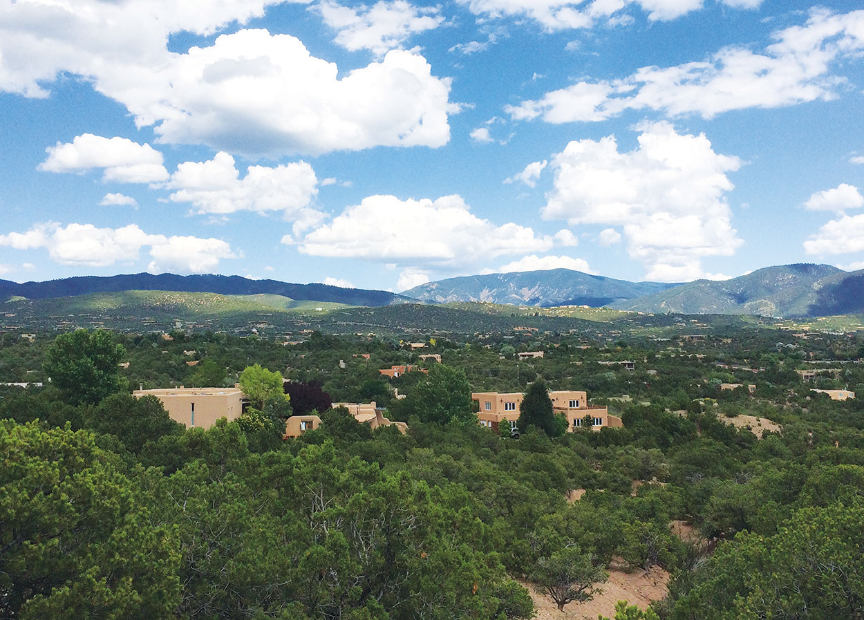
Of particular concern is the northeastern edge of the city where subdivisions have spread into the foothills and steep slopes (the “escarpment”) of the Sangre de Cristo Mountains. A 500-acre Escarpment Overlay District was established in 1992 to minimize erosion, stormwater runoff, and the visual impacts of development on ridgetops by regulating landscaping and the size and height of structures. As it happens, this steep, forested district is also the area at highest risk of wildfire.
In recent years, city planners have started considering wildfire risk as they review development within the Escarpment Overlay District. The city works with home-builders to manage forested areas while protecting aesthetics. For example, in the escarpment the city may reduce requirements to plant trees in order to reduce wildfire risk. Landscaping in the Escarpment Overlay District requires vegetation with a lower burn risk than in other parts of the city. Limiting development within the district also reduces wildfire risk and protects valuable watersheds.
With an eye to the entire city, the Santa Fe Fire Department is working closely with city planners to integrate elements of a Wildland-Urban Interface (WUI) Code and the city’s 2014 Hazard Mitigation Plan into the city’s Land Development Code. WUI codes provide a rigorous set of building and site standards to mitigate risks of wildfire. They often include standards for structure density and location, building materials and construction, vegetation management, emergency vehicle access, water supply, and fire protection.
Santa Fe is also working to understand how wildfire risk affects different portions of the city and focusing on where the highest risk of wildfire overlaps with populations that may have social, economic, and health disadvantages in order to more effectively and efficiently reduce risk. As part of the CPAW program, Headwaters Economics helped develop this interactive tool to help the community assess wildfire and populations at risk
Community outreach is a high priority in Santa Fe. The Fire Department is shifting more time to monitoring land use and supporting property owners including launching a robust early-notification neighborhood program and regular communication of wildfire-related activities.
A city culture of innovation and interdepartmental collaboration underlies Santa Fe’s success and has provided a valuable model to the CPAW team and other municipalities in the West.
Read more about Santa Fe’s strategies in this report.
Snapshot
- Population (2015): 147,108
- Growth Rate (2000-2015): 13.8%
- Fuel Type: Pinon-juniper woodlands, ponderosa pine, shortgrass prairie, sagebrush steppe
Resources
- Santa Fe Wildfire & Populations At Risk Tool
- Santa Fe County Community Wildfire Protection Plan
- Hazard Mitigation Plan
- Santa Fe Land Development Code
- City of Santa Fe General Plan 1999
- Sustainable Santa Fe Plan
- City of Santa Fe Watershed Association
- City of Santa Fe Fire Department Wildland Fire Preparedness
