Missoula County, Montana
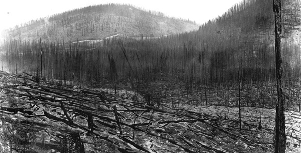
The Great Fires of 1910 burned three million acres in Montana and Idaho, shaping our country’s early wildland fire policies and leaving a lasting impression on Missoula County, Montana. Since then, numerous fires have destroyed homes throughout Missoula County. With a rapid population growth, Missoula County is in the ninety-fifth percentile of Western counties for risk of home development in the wildland-urban interface (WUI).
Missoula County, in collaboration with dozens of local partners, began working with CPAW in the fall of 2015. Throughout the following year, dozens of stakeholders collaborated to facilitate the CPAW process, including members of Missoula County Community and Planning Services, the Office of Emergency Management, local fire departments, the Lolo National Forest, the Montana Department of Natural Resources and Conservation, the Confederated Salish-Kootenai Tribes, the University of Montana, and the USFS Rocky Mountain Research Station.
The CPAW program provided Missoula County with an updated Community Wildfire Protection Plan (CWPP), including a wildfire hazard assessment that was refined with local stakeholder engagement to incorporate local data for fire behavior. The CWPP was adopted in May 2018. Missoula County also developed a Story Map to provide an overview of the CWPP and hazard assessments. The Missoula County CPAW project was supported in part by the LOR Foundation.
In 2020, CPAW provided comprehensive land use planning recommendations to Missoula County.
Snapshot
- 2020 CPAW Community
- Population (2018): 118,791
- Growth Rate (2000-2018): 24%
- Fuel Type: Warm/dry ponderosa pine, Douglas-fir, mountain grasslands
Resources
- CPAW recommendations for Missoula County (2020)
- Missoula County CWPP (adopted May 2018)
- Story Map with hazard assessment
- Local news story about the CWPP process
- The Western Region of the National Cohesive Wildland Fire Management Strategy features Missoula County CWPP
Missoula County is moving forward in a very positive direction relative to dealing with fire, both wild and introduced, on the landscape. Our efforts would not be possible, or be as effective, without the considerable talent of the personnel on the CPAW team, at the Rocky Mountain Research Station and in our other partner organizations.
Patrick O’Herren
Chief Planning Officer, Missoula County
