Mariposa County, California
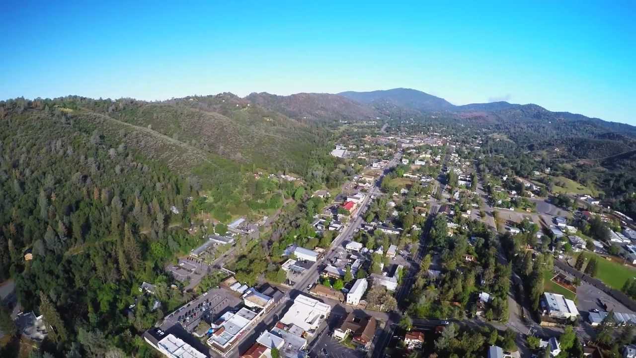
Communities in Mariposa County, California have been repeatedly impacted by wildfires over the years. Situated adjacent to Yosemite National Park, the county is characterized by dense forests and sprawling chaparral. Since 2001, nearly 60 percent of the county land area has burned. In 2017, the Detwiler Fire burned more than 81,000 acres in Mariposa County and burned 131 structures. A year later, the Ferguson Fire burned nearly 97,000 acres, resulted in the death of two firefighters, and cost nearly $300 million in damages and suppression efforts.
Mariposa County also has identified other challenges in the wildland-urban interface that are exacerbating local wildfire conditions. For example, a high concentration of tree mortality in the surrounding forests is generating excess fuels, and vast areas of undeveloped open space in the county are not maintained for vegetation and wildfire risk mitigation. Mariposa County is considering how to best manage existing and future development in areas likely to experience wildfire.
CPAW’s final recommendations to Mariposa County included to assess and identify the wildland-urban interface (WUI) and wildfire risk; to elevate the CCWPP as the primary planning document to guide local wildfire strategies and activities, and to adopt and implement a robust and streamlined approach to county regulations for wildfire hazard.
Snapshot
- 2019 CPAW Community
- Population (2016): 17,410
- Growth Rate (2000-2016): 1.8%
- Fuel Type: Oak, ponderosa pine, mixed chaparral
