
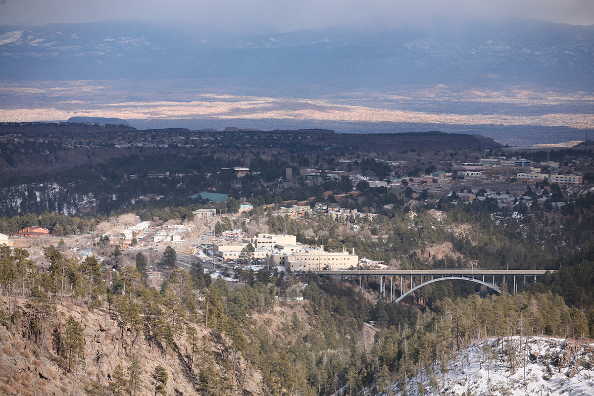
Los Alamos County, New Mexico
Los Alamos, New Mexico is surrounded by fire-adapted forest ecosystems and has experienced significant wildfires. The 47,000-acre Cerro Grande Fire began in May 2000 when changing winds carried embers from a prescribed burn across the fire line. Approximately 18,000 people—the entire populations of Los Alamos and White Rock—were evacuated. The fire spread rapidly over the next few days, burning public, private, and Pueblo lands. In Los Alamos, 239 residential structures were burned, displacing over 400 families. More than 25% of Los Alamos National Laboratory lands were burned, including numerous small buildings, historic structures, vehicles, utilities, and environmental monitoring stations.
Partners in Los Alamos have a strong history of collaboration, proactive land use planning, and wildfire preparedness. The CPAW team provided consulting support and input to the community in 2018 regarding risk assessments and wildland-urban interface codes. CPAW will continue to provide support to Los Alamos County as it strengthens its land use planning tools to reduce wildfire risk.
Snapshot
- 2018 CPAW Community
- Population (2015): 17,939
- Growth Rate (2010-2015): -0.8%
- Fuel Type: Piñon pine, ponderosa pine