Lewis & Clark County, Montana
When a large smoke column rose from the Scratch Gravel Hills in the northern part of the Helena Valley in June of 2012, it could be seen from the Montana State Capitol in downtown Helena. When the fire was contained days later, 200 firefighters had responded, four homes had been lost and another 30 damaged. More than 300 people were evacuated from nearby neighborhoods.
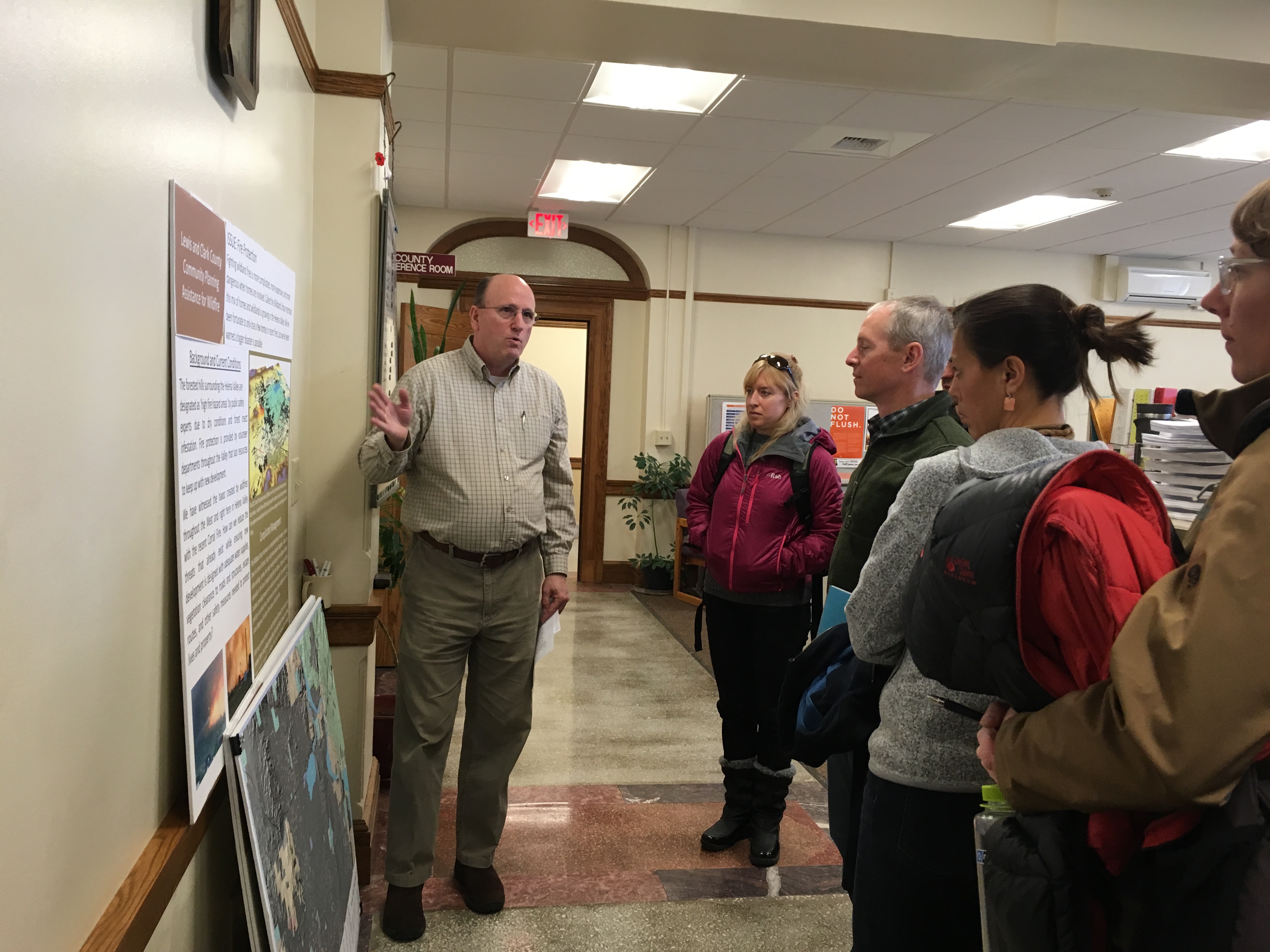
The aftermath of the Scratch Gravel Hills (“Corral”) fire heightened awareness of wildfire risk in the Helena Valley. With a rapidly growing population, lengthening fire seasons, and limited water supply for suppression, Lewis and Clark County became determined to incorporate wildfire more intentionally into its land use planning activities. The County joined CPAW in the fall of 2016 following the recent update of its Helena Valley Area Plan, which recommends adoption of a zoning overlay for the wildland-urban interface (WUI).
The CPAW team provided recommendations to the County in the fall of 2017. CPAW’s recommendations include:
- Strengthen and clarify subdivision regulations;
- Adopt a Wildland-Urban Interface Code;
- Update the Growth Policy to comprehensively address wildfire
In addition, through a partnership with the U.S. Forest Service Rocky Mountain Research Station, CPAW provided a wildfire hazard assessment. The wildfire hazard maps are frequently used by the land use planning department to designate high-hazard areas. The maps were also used in the updated Tri-County Community Wildfire Protection Plan (CWPP) adopted in 2020 which includes Lewis & Clark, Jefferson, and Broadwater counties. The CWPP will help inform 2020 updates to Lewis & Clark County’s Growth Policy as well.
Details about the wildfire hazard assessment can be found in Appendix A of the CPAW recommendations.
Some of Lewis & Clark County’s innovative practices around land use planning in the wildland-urban interface were also featured in a September 2017 report called Planning Tools to Reduce Montana’s Wildfire Risk by Headwaters Economics, prepared at the request of Park County, Montana as part of the CPAW program.
Snapshot
- 2017 CPAW Community
- Population (2014): 65,357
- Growth Rate (2000-2015): 17%
- Fuel Type: Mixed conifer, grasslands