
La Plata County, Colorado
La Plata County, located in southwest Colorado, is characterized by a diverse geography of mountains, forests, and grasslands. The San Juan National Forest stretches across much of the northern part of the county, offering extensive outdoor and recreational opportunities. As such, the county seat of Durango has become a destination for retirees, second home owners, and others wanting to live near scenic areas.
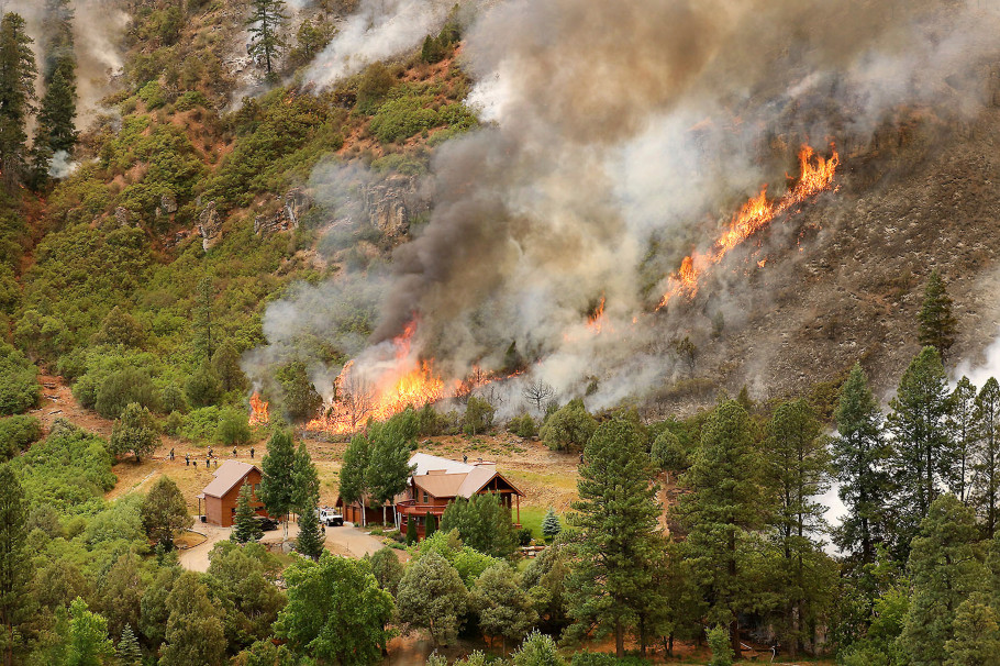
Balancing growth and wildfire mitigation has been challenging in La Plata County. The county lacks current regulations regarding wildfire risk reduction, such as required defensible space around homes and properties or land use codes for building in wildfire-prone areas. Yet, the county’s Hazard Mitigation Plan (2018) noted the county has a 100 percent probability of annual wildfire occurrence.
La Plata County was selected as a CPAW community for 2020. In partnership with the Rocky Mountain Research Station, CPAW produced a wildfire hazard assessment for the county, informed and calibrated with local expertise. Outcomes from the hazard assessment help informed land use planning recommendations.
Snapshot
- 2020 CPAW Community
- Population: 56,310
- Growth Rate (2000-2018): 27%
- Fuel Type: mixed conifer (spruce, fir), oak, grasslands, sagebrush, juniper