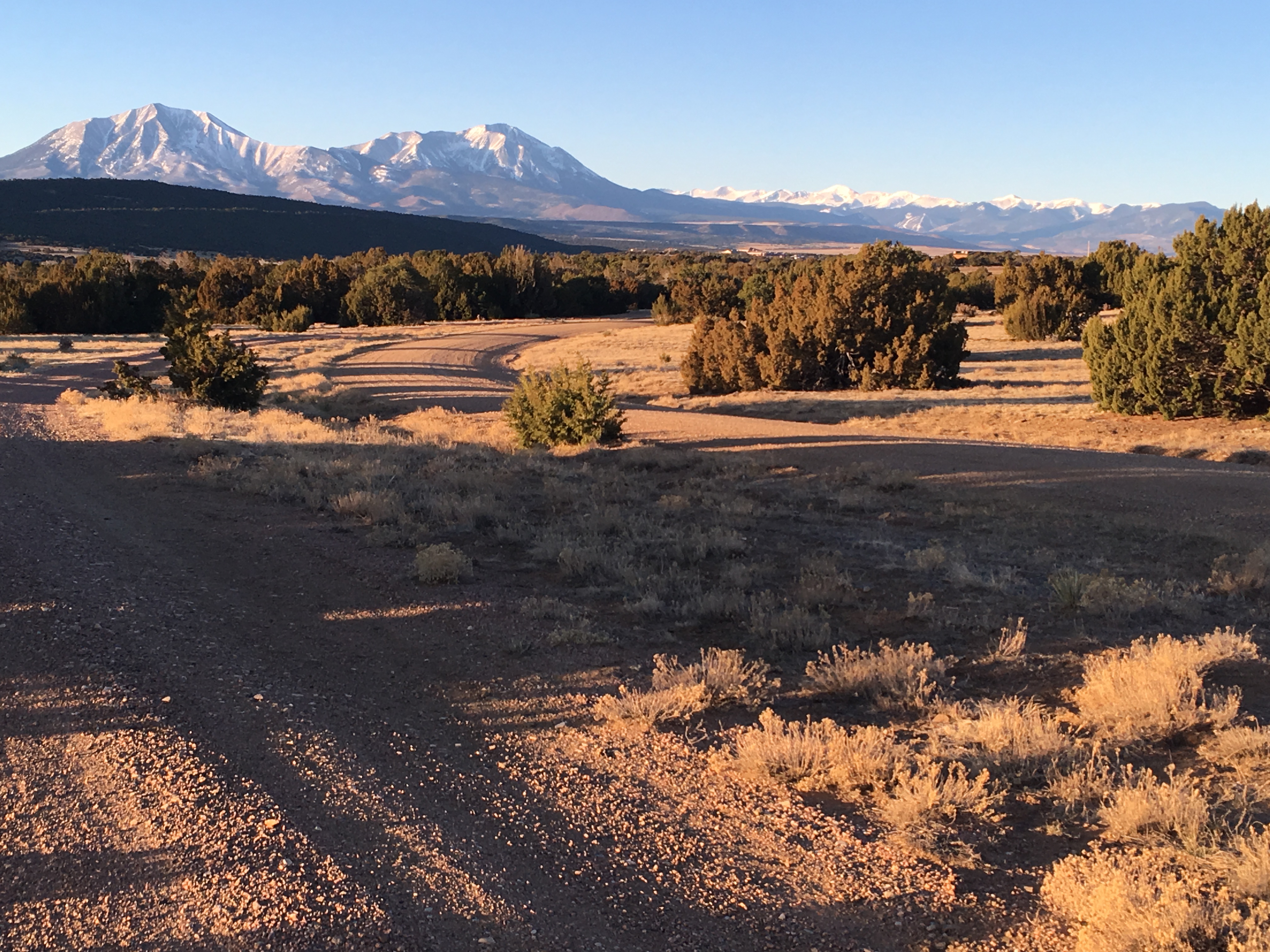
Huerfano County, Colorado
In 2013, the East Peak Fire burned in the steep canyons of the Spanish Peaks in the southern part of Huerfano County, forcing the evacuation of a Boy Scout camp and dozens of homes while putting the entire City of Walsenburg on pre-evacuation notice. The fire burned more than 13,000 acres and Huerfano County suffered the loss of ten structures, serving as a reminder to local residents of the potential wildfire threat.
Huerfano County is characterized by extensive and relatively dense pinyon-juniper forest, which burns with high intensity. Much of Huerfano County is losing population. A close look at demographic shifts, however, shows that while young families are moving away, many retirees are moving into seasonal and year-round residences to enjoy the county’s beautiful landscape and mild climate. Many newcomers are seasonal, or arriving from places less prone to wildfire. These factors can make landowner education and mitigation on private property challenging.
The slow rate of population growth creates an opportunity for Huerfano County to envision a fire-adapted future before the next wave of development. Huerfano County was selected for full assistance in the CPAW program in the fall of 2016 and they worked with the CPAW team through 2017 to evaluate their land use planning tools. CPAW’s recommendations include that Huerfano County:
- define the wildland-urban interface land cover classification;
- implement a wildland-urban interface risk assessment program to support land use decisions and policies;
- adopt a Wildland-Urban Interface Code to establish minimum wildfire safety standards for development;
- update their Comprehensive Plan to elevate wildfire as the priority natural hazard;
- develop a collaborative county-wide Community Wildfire Protection Plan; and
- dedicate staff and convene a task force to sustain wildfire activities.
In addressing one of the CPAW recommendations, Huerfano County has greatly expanded a formal parcel assessment process. The assessment is based on a 60-minute face –to-face evaluation of the home ignition zone (HIZ) with homeowners. The county’s process and assessment tools are based on the National Fire Protection Association’s (NFPA) Assessing Structural Ignition Potential for Wildfire (ASIP) process. Using both mobile devices and paper-based tools, more than 80 assessments were completed in 2019. In addition, the county has hired a full-time wildfire mitigation coordinator to assist with the home assessments and other wildfire risk-reduction measures.
Snapshot
- 2017 CPAW Community
- Population (2014):6,492
- Growth Rate (2000-2015): -17%
- Fuel Type: Pinyon-juniper scrublands, mixed spruce-fir